Where are the Iberian orcas? Maps, seasons and tracking
16 min read
If you are asking where the Iberian orcas are, the honest answer is that there is no public map that shows them in real time. What exists is a patchwork: risk-zone maps, logs of sightings and interactions, radio warnings, and sailing communities passing information along. This guide explains where they move through the year, which tools exist, what each one really knows, and how to read a map without being misled, using official sources and without drama.
A note on words. Spain’s Ministry for the Ecological Transition (MITECO) speaks of interactions, links them to play or social behaviour and advises against the word «attack». Several sources we quote, especially the sailing press and cruising communities, do say «attack». When we give their numbers, we keep their term.
The short answer
- Core area: the Strait of Gibraltar and the Gulf of Cádiz. Following the Atlantic bluefin tuna, they range up to the waters of Portugal, Galicia and the Cantabrian Sea.
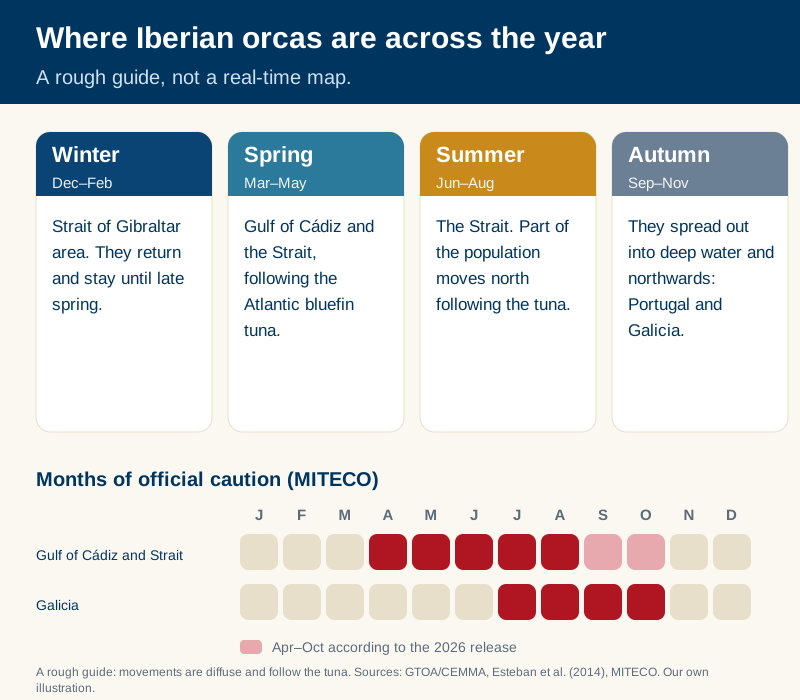
- Yearly cycle (GTOA/CEMMA): in summer part of the population moves north behind the tuna; in autumn they spread into deep water; in winter they return to the Strait area and stay until late spring.
- Months of official caution: MITECO asks for extra care from April to August in the Gulf of Cádiz and the Strait, and from July to October in western Galicia. Its April 2026 release says April to October for all areas.
- Live tracking: there is none. The best tools lag behind events, can show the same event twice and do not capture everything.
- If you are a visitor: no operator can guarantee a sighting, and in part of the area whale watching is banned for part of the year.
Where they are, season by season
What the sources say, plainly:
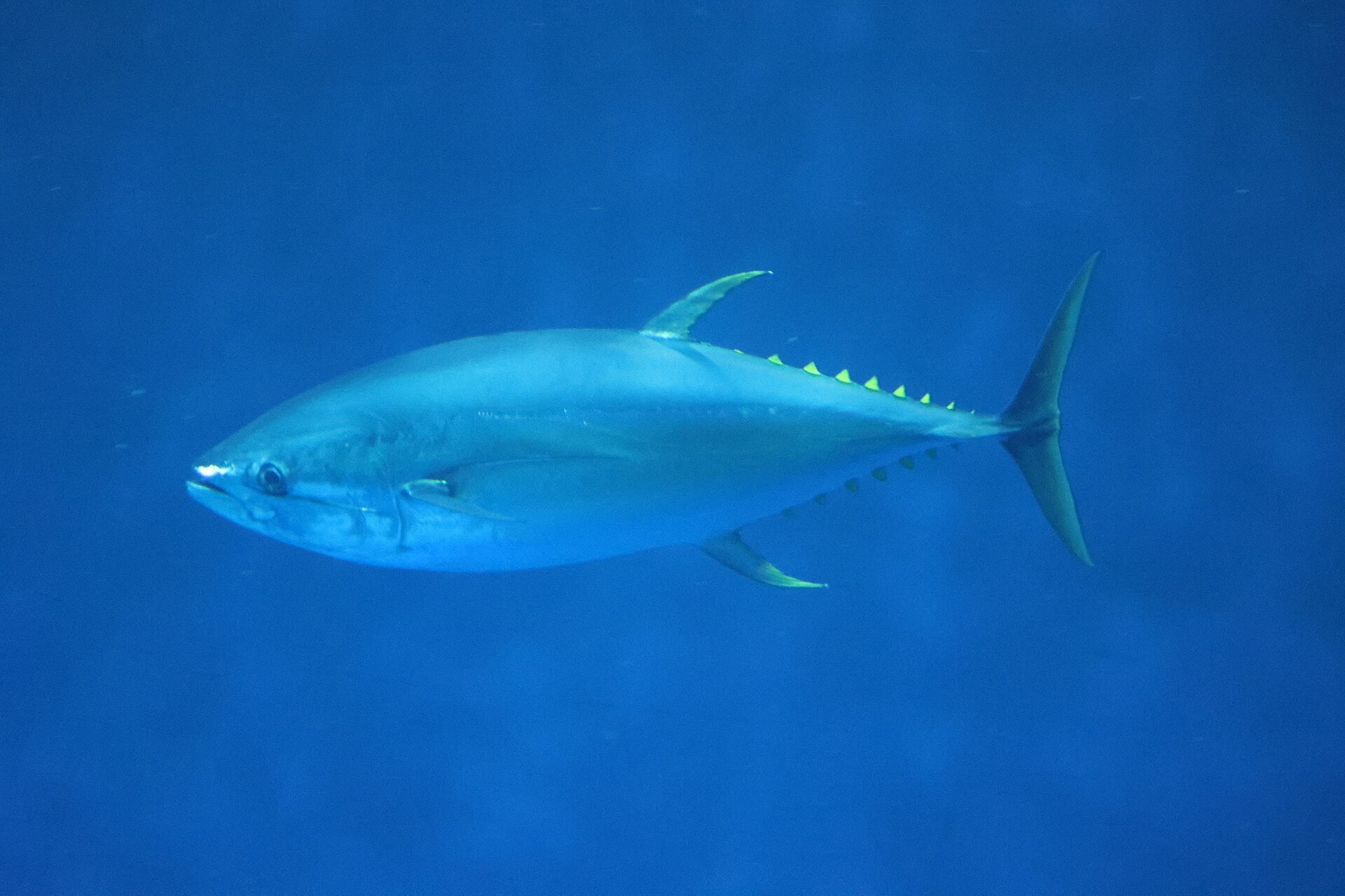
- MITECO states that these orcas regularly use Spanish waters, from the Strait and the Gulf of Cádiz to Galicia and the Cantabrian Sea, and that they are tied in space and season to the Atlantic bluefin tuna stock, which drives their movements.
- A scientific study by Esteban and colleagues (Journal of the Marine Biological Association of the UK, 2014), built on 11,276 sightings, found that their distribution follows that of bluefin tuna: the Gulf of Cádiz in spring and the Strait in summer.
- GTOA/CEMMA describes the cycle: north from the Strait in summer, dispersal into deep water in autumn, back to the Strait in winter. It warns that movements are diffuse: groups do not travel together and depend on their prey. It also notes occasional relatives in the Canary Islands and that this population is genetically isolated from the orcas of Norway and Iceland.
The Strait and the Gulf of Cádiz
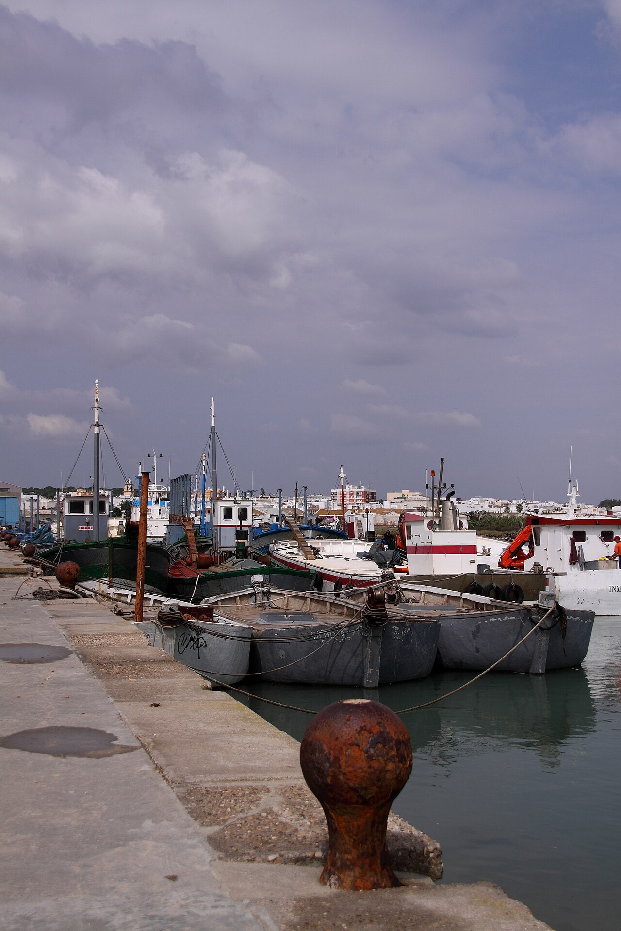
This is the reference area. Using orcas.pt data, YACHT magazine puts the spring 2026 hotspot at Cabo Trafalgar: four interactions and five sightings without interaction from January to the end of April, then seven interactions and fifteen sightings in the first three weeks of May. MITECO, for its part, says interactions between the Gulf of Cádiz and the Strait kept falling significantly in summer 2025.
Portugal
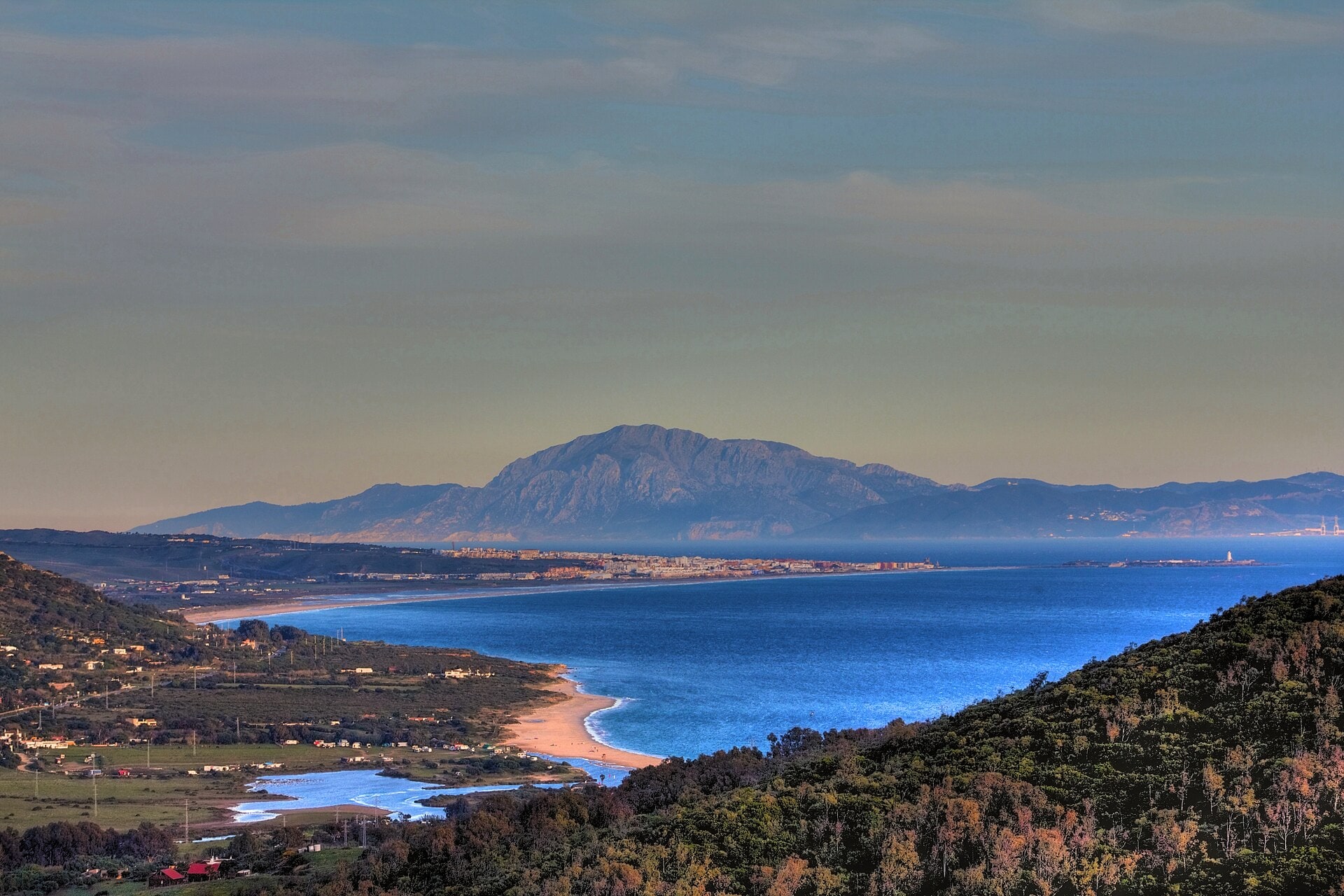
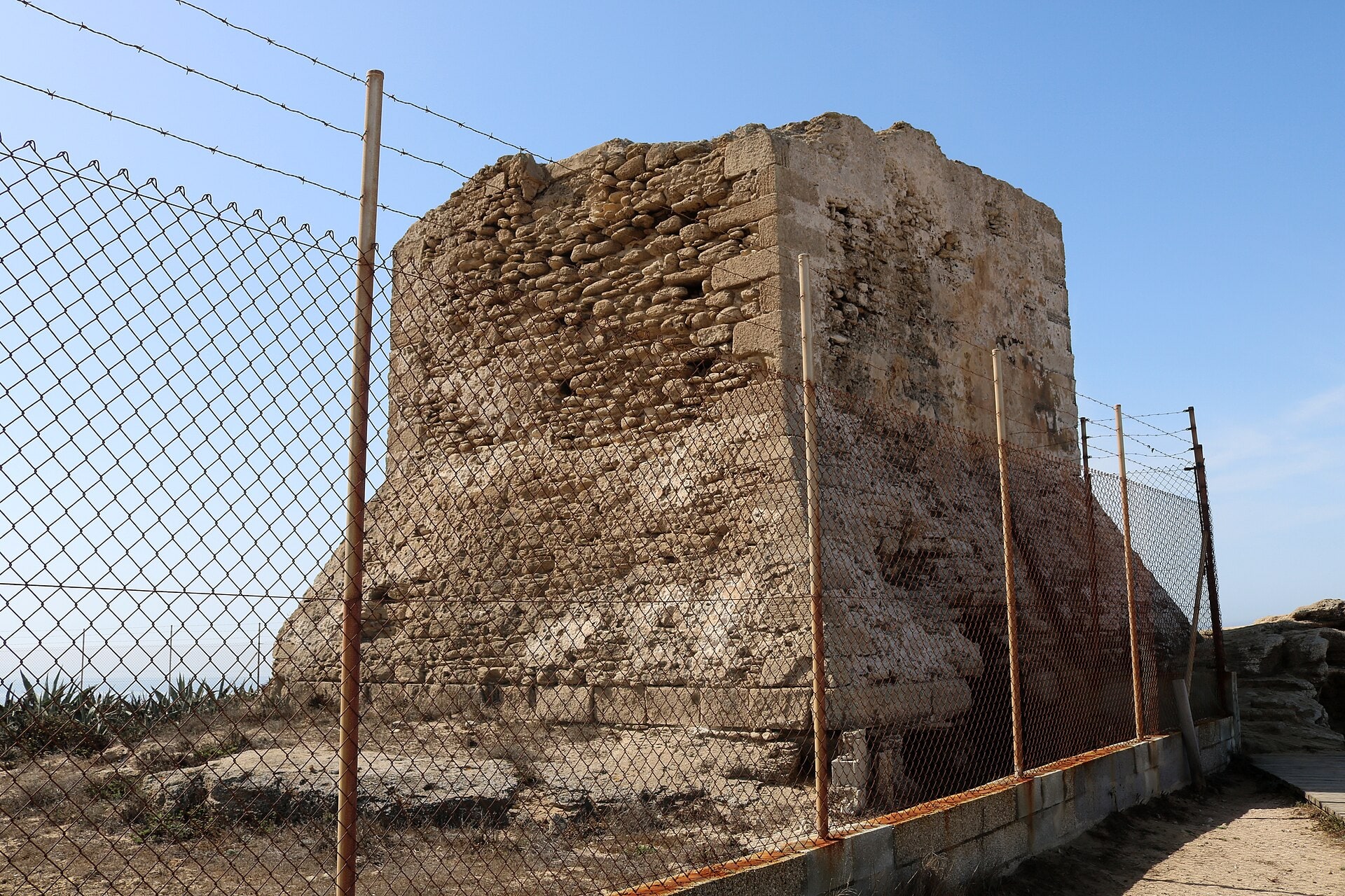
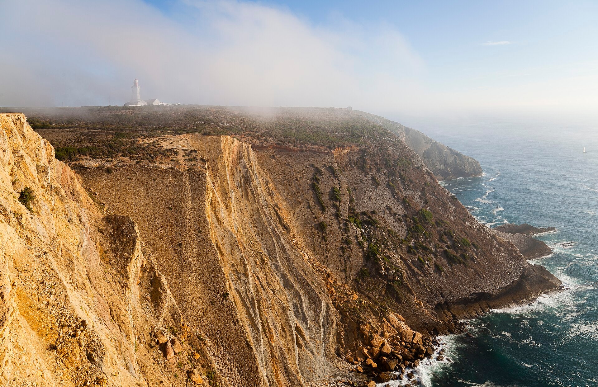
Orcas pass along the Portuguese coast, but seeing them is unlikely. In a 2017 interview with Time Out Lisboa, biologist Francisco Marinho said they pass every year and that the chance of a sighting is «very low». It is an old statement, but it still fits what has been observed. For the Algarve, a local operator quoted by Essential Algarve in 2020 described a pattern of sightings between May and June and more in late summer, mainly September, adding that it is «somewhat random and unpredictable». In 2026 YACHT reports recent sightings off Sines and Sesimbra.
Galicia and the Cantabrian Sea
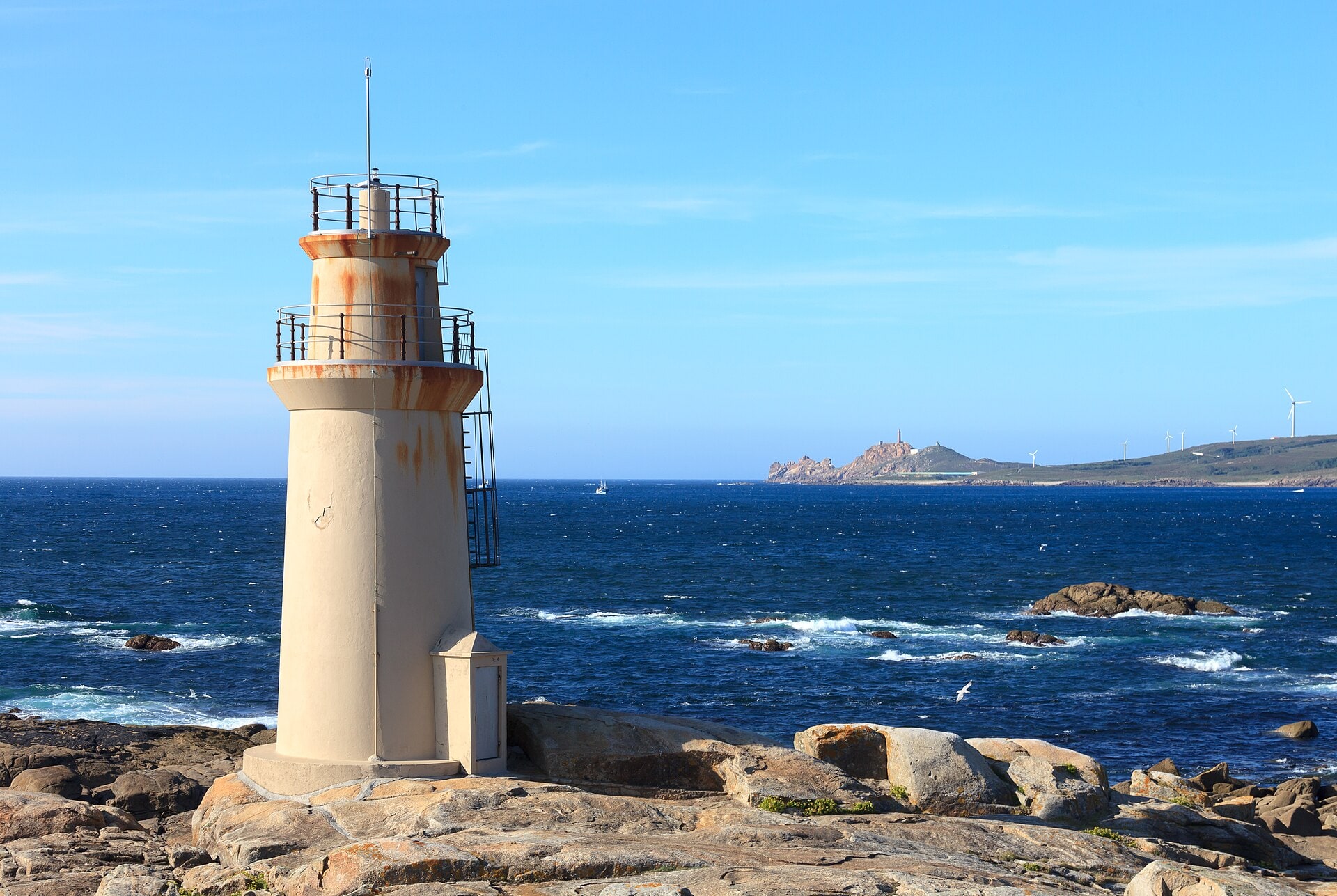
In 2026 MITECO published a map of high-risk contact zones for the Galician coast, based on four years of Maritime Rescue records, and extended its information campaign to the Cantabrian Sea. Its summer 2025 balance: a slight rise in the north while numbers fell in the south. For western Galicia it asks for extra caution from July to October. The UK’s Cruising Association recorded a record number of interactions off Galicia in October 2025.
The pattern changes from year to year
One season is not a copy of the last. The Cruising Association’s 2025 review (published 18 December) reports a very sharp drop in May and June in the Cádiz–Tangier–Gibraltar triangle, that July stayed «well below average» there, and that by year end that area was at about 28 % of its average, while other areas matched or exceeded theirs. Its conclusion is cautious: «there is no zero-risk option», movements change from year to year, and you should follow up-to-date information. YACHT adds that in August 2026, on the Portuguese map, ten interactions and nine sightings were counted, one of the busiest months since July 2022.
Tools for finding them
🗺️ MITECO · risk maps and satellite tags
What it gives youInteraction-probability map for the Gulf of Cádiz (satellite tags and five years of sightings, downloadable as KMZ/KML) and a high-risk-zone map for Galicia. Six tagged orcas; approximate weekly maps shared with the authorities
Its limitNot live; they show zones, not where orcas are today
Open the website ↗📻 Maritime Rescue (Salvamento Marítimo)
What it gives youRadio warnings from the Cádiz and Tarifa centres from April to August
Its limitA radio warning, not a map
Open the website ↗⚓ Orca portal of the Hydrographic Institute (Portuguese Navy)
What it gives youInteractive maps of sightings and interactions, links to navigational warnings, a report form and e-mail alerts
Its limitUpdate frequency not stated; per YACHT it merges ANAV, orcaiberica.org and orcas.pt data, can show duplicates and is «not a real-time picture»
Open the website ↗🐋 GTOA/CEMMA · orcaiberica.org
What it gives youInteraction log by year (2020–2026), a reporting form, recommendations and the GT Orcas app (es, en, fr, pt, gl)
Its limitIt records what gets reported
Open the website ↗💬 orcas.pt
What it gives youMap of latest incidents, Strait hotspot map, historical data, Telegram groups and a proximity-alert bot
Its limitA community project, largely one person; the site itself says it is for information only and that skippers remain responsible for their vessel
Open the website ↗📊 Cruising Association
What it gives youA monthly location table built on GTOA maps, handy for planning
Its limitAn analysis, not an instant alert
Open the website ↗One practical point: MITECO does not publish the coordinates of its delimited area on the page; they sit in the downloadable KML file. If you want them in your chartplotter, take them from the source rather than copying second-hand numbers.
CIRCE (Conservación, Información y Estudio sobre Cetáceos) is a non-profit founded in 1996. Its website lists its part in the conservation plan for orcas in Spanish Atlantic waters and in managing the Strait of Gibraltar Natural Park. It offers no public system for reporting sightings (only contact and volunteering), so for that use the channels under «Whom to call» below.
How to read a map without being misled
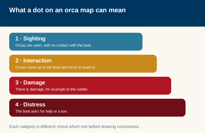
- A sighting, an interaction, rudder damage and a distress call are different things. Each dot documents something else; check the category before drawing conclusions.
- Maps lag. Time passes between the event, the report, the checks and the publication. No tool replaces your own passage planning or radio warnings.
- No dots does not mean no orcas. In June 2025 off Sesimbra, YACHT reports that the yacht Poniente went through an interaction of about thirty minutes in 16 m of water, that GTOA’s monthly map had not warned of it, and that, according to the Cruising Association, it was only the second shallow-water case reported to it since 2022. The lesson: depth and maps reduce risk, they do not remove it.
- Numbers are not comparable across sources. According to YACHT, recorded interactions fell from 180 in 2022 to 128 in 2023; other sources speak of several hundred since 2020, but they use different criteria and cut-off dates. That is why we give no single total.
- Cross-check several sources. It is the advice repeated by the sailing press and by the communities themselves.
If you sail: what the sources recommend (and where they differ)
In Spain the official reference is the recommendations from MITECO and the Ministry of Transport (May 2024, maintained in the 2026 release): avoid the delimited zones in the months of highest risk, sail as close to the coast as safety allows, do not stop the vessel if there is an interaction and head for shallower water, keep people away from the sides, use no deterrents that could harm or disturb the animals, and report as soon as possible.
Not everyone says the same thing:
- Stop or keep going. MITECO and orcas.pt say do not stop. The GTOA recommendations page we read (undated) still lists slowing down and stopping the engine, and the same page acknowledges that Spain changed its recommendations in June 2023 and generalised them after the expert meeting of February 2024. According to Portuguese press in 2023, ICNF advised stopping with the engine running. Our reading: older protocols are still in circulation; the current reference in Spain is MITECO’s, and you should check its latest version.
- Inshore or offshore. MITECO asks you to stay as close to the coast as is safe. orcas.pt advises keeping inside the 20 m depth contour when possible or, in Portuguese waters, west of 10° W. These are different criteria, from different bodies, for different places, and the Sesimbra case shows that neither is a guarantee. The Cruising Association recommends the shallow-water route but warns about shoals, fixed tuna nets and currents.
- Reversing. YACHT quotes the orcas.pt founder advising against going astern: the rudder is not built for it in a seaway.
- Night sailing. YACHT recommends avoiding hotspots at night, because rescue and towing are harder.
- Pingers. orcas.pt states they are illegal in Portugal and Spain and do not work. That is its claim; we have not checked it, but we have not found any official source recommending them either.
Whom to call. The nearest Maritime Rescue Coordination Centre on VHF channel 16 or 112. GTOA adds the Tarifa Traffic (10), Tangier (69) and Fisterra (16) channels. Photos of the animals, if it is safe to take them, to orcas@sasemar.es. The details asked for: vessel type, length, colour, flag and registration, date, time and position, duration, whether there was contact or only a sighting, damage and number of orcas. In Portugal, report to ICNF, the National Maritime Authority, GTOA, or through the Hydrographic Institute portal form.
To understand what an interaction is, who these animals are and how many are left, read our guide to Iberian orcas in the Strait.
If you are a visitor: can you see them?
With caution, and without promises.
- Nobody can guarantee a sighting. These are wild animals and the population is small. Be wary of any offer that quotes a success rate.
- There are legal limits. Recreational cetacean watching, with or without profit, needs prior authorisation (Order APM/427/2017). On top of that, in the critical area of the Ensenada de Barbate, Conil and Banco Majuán, cetacean watching, whether commercial, private or scientific, is prohibited from 1 March to 31 August.
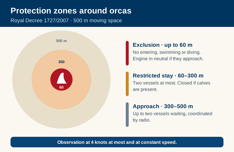
- Distances. Royal Decree 1727/2007 defines a moving protection space of 500 m. Inside it there is an exclusion zone of 60 m or more (no entering, swimming or diving), a restricted-stay zone from 60 to 300 m (two vessels at most, and closed if calves are present) and an approach zone from 300 to 500 m. It is not «keep 500 m away»: it is respecting those three zones. More in our guide to the rules for watching dolphins.
- From land. We found no official source confirming reliable sightings of Iberian orcas from the shore, so we do not promise it.
- Swimming with them is neither legal nor safe. If anyone offers it, walk away.
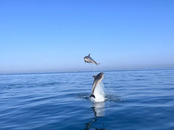
We sail from Sotogrande and Estepona and we do not sell orca trips: ours are dolphin-watching trips and sunsets. To get to know the area, see the Sotogrande guide.
If you find a stranded cetacean in Andalusia
If you see a dolphin, an orca or another cetacean, alive or dead, on an Andalusian beach, call 112. According to the Andalusian regional government (Junta de Andalucía), 112 is the entry point: it alerts the marine emergency team, which works 365 days a year; for live animals a vet arrives in under two hours, and for dead ones data is recorded for study. The Junta publishes a manual on attending strandings on the Andalusian coast (in Spanish) with the full protocol: read it, and follow 112’s instructions until the team arrives.
What people ask most (and what we know)
- Do they attack people? MITECO describes the interactions as not aggressive and linked to play or social behaviour. The official sources we read mention no harm to people; they do record damage to rudders and boats.
- Is it revenge? It is a very popular hypothesis in the press and on forums, but it is unproven: we found no official source backing it. Treat it as what it is, a conjecture.
- Why the rudder? Nobody knows for sure. MITECO points to play or social behaviour; the press and forums offer other explanations, and none is established.
- Should you avoid the Strait? There is no ban on sailing, only recommendations. The sensible step is to check the current situation before you set out.
- How many are there? Between 35 and 39 depending on source and year; the figures are in our main guide.
- Is a tourist boat trip safe? The official recommendations we read are aimed at leisure sailors. We found no data on organised excursions, so we claim nothing; the Cruising Association does remind us that there is no zero-risk option.
Frequently asked questions
Is there a real-time map of the Iberian orcas?
No. There are risk-zone maps (MITECO), interaction logs (GTOA), an events portal from the Portuguese Navy, and community tools such as orcas.pt. All of them lag.
When is an encounter most likely?
They follow the bluefin tuna: Gulf of Cádiz and Strait in spring and summer, with movements north in late summer and autumn. MITECO asks for extra caution from April to August, or to October, depending on the area and the document.
Can orcas be seen from Sotogrande or Estepona?
We found no official sighting data for that coast, so we make no claim.
What do I do if they surround my boat?
Do not stop, head for the coast, keep people away from the sides, use no deterrents and call on channel 16 or 112. That is the official recommendation; check the current version.
How do I report a sighting?
To Maritime Rescue on VHF 16 or 112, photos to orcas@sasemar.es and, to help the science, to GTOA or through the Portuguese portal form.
Can I go and see them on a trip?
Only with authorised operators and without guarantees, and not in the critical area of Barbate, Conil and Banco Majuán between 1 March and 31 August.
How we prepared this guide
We read the MITECO pages, Order APM/427/2017 and Royal Decree 1727/2007 in the BOE, the websites of GTOA/CEMMA, orcas.pt and the Hydrographic Institute, the 2014 study summary on Cambridge Core, and the analyses by the Cruising Association and YACHT. To learn what sailors ask, we went through forum threads in French and English (Hisse et Oh and the Yachting Monthly forum); we found no useful threads in Spanish, Portuguese, German or Dutch, so in those languages we do not speak for any community. Advice from communities and the press is always attributed to whoever gives it.
Sources
- MITECO · Orca population of the Strait of Gibraltar and Gulf of Cádiz (maps, caution periods, contacts).
- MITECO and the Ministry of Transport · «Orca interactions fall in Spain…» (01-04-2026) and recommendations to mariners (14-05-2024) (Spanish).
- BOE · Order APM/427/2017 and Royal Decree 1727/2007 (Spanish).
- GTOA/CEMMA · What are orcas?, interaction log and recommendations (Spanish).
- Esteban, R. et al. (2014) · «Identifying key habitat and seasonal patterns of a critically endangered population of killer whales», J. Mar. Biol. Assoc. UK 94(6).
- Hydrographic Institute (Portugal) · Orca events portal and YACHT · «Keeping an eye on orcas».
- orcas.pt · home, Do’s and Don’ts, Education, FAQ and blog; Iberian orca identification poster.
- Cruising Association · Iberian Orca Interactions 2025: What have we learned?
- YACHT · «Iberische Küste: Orcas wieder aktiver» (2026, German) and «Orca attack near Sesimbra» (26-06-2025).
- Time Out Lisboa · Interview with Francisco Marinho (06-10-2017) (Portuguese) and Essential Algarve · Orcas in Algarve waters (Nov 2020).
- CIRCE · Home and Conservation (Spanish).
- Junta de Andalucía · Emergency response to strandings of marine mammals and turtles and Manual on attending strandings on the Andalusian coast (PDF, Spanish).
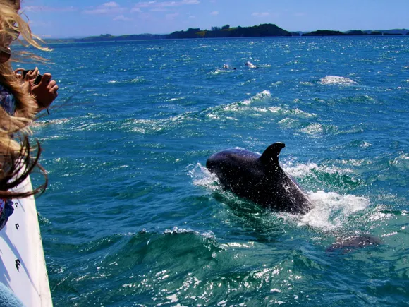
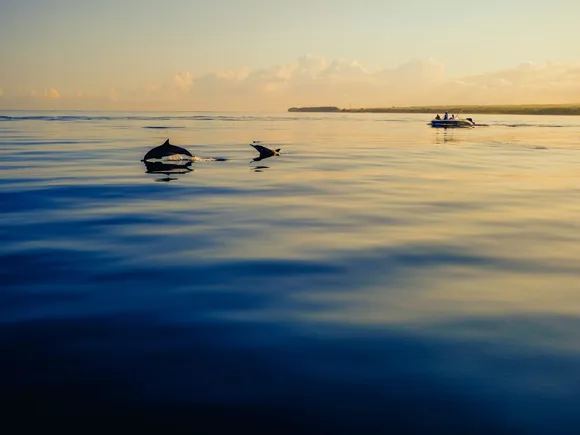
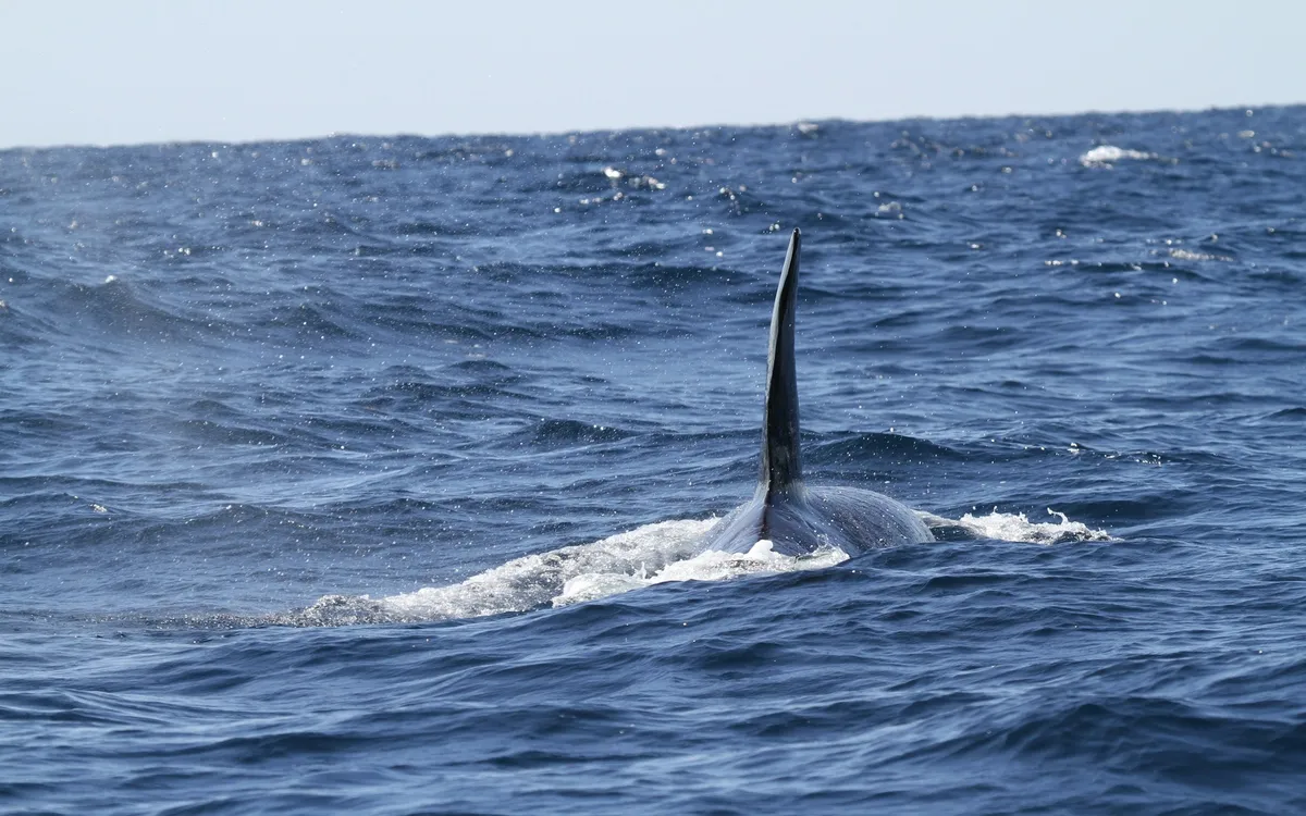
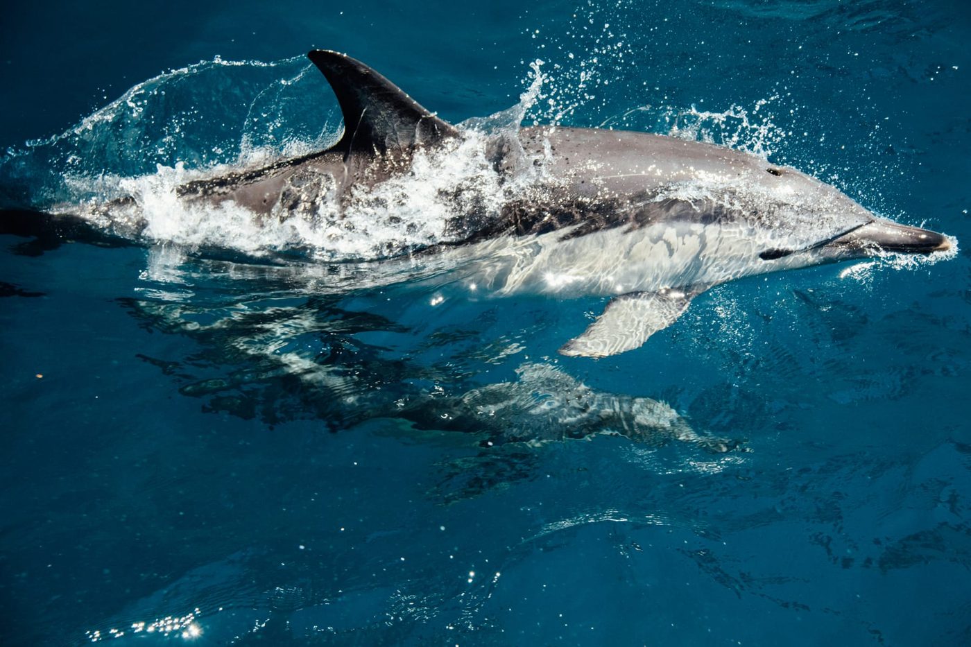
- Cover photo: NOAA (Unsplash; illustrative, not of the Iberian population). Sketch: our own work.
Last checked: 4 November 2026. We could not confirm whether ICNF’s 2023 restriction on tourist boats is still in force. Maps and recommendations are updated: always check the current version before you sail.